2006.004.126
Chart, Navigational
Lake Huron and Georgian Bay
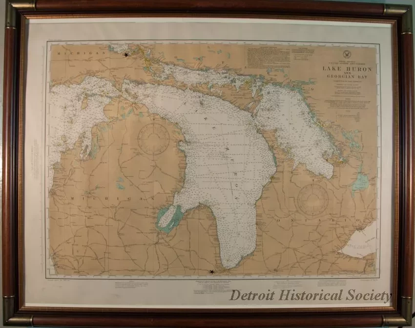
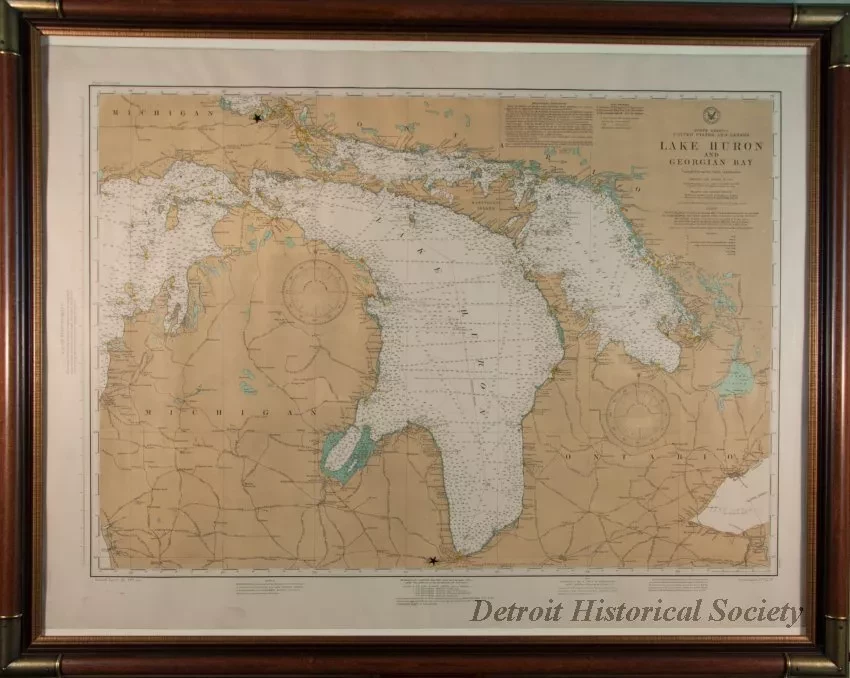
One navigational chart of "Lake Huron and Georgian Bay." The chart shows shorelines, cities, towns, rivers, lighthouses, buoys, known hazards, and water depths in feet. Lines of latitude and longitude are also shown along with two compass roses for magnetic variation. The chart was published in 1918 by the Hydrographic Office in Washington, D.C., for sale by the U.S. Lake Survey Office in Detroit. The chart is mounted in a decorative dark wood frame with protective glass.
Request Image


