2013.031.002
Print, Photographic
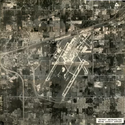
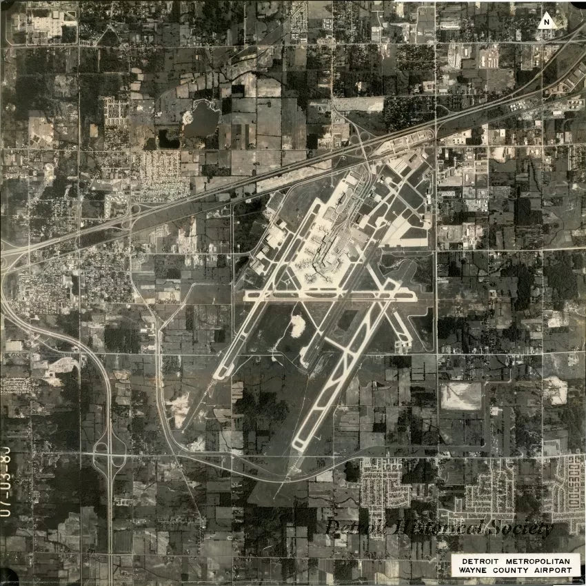
Mounted black and white high-altitude aerial photograph of Detroit Metropolitan Wayne County Airport, and the surrounding area, including I-94 and Ecorse Road to the north, Middlebelt Road and Inkster Road to the east, Romulus and I-275 to the west, and Eureka Road and Pennsylvania Road to the south. "07-03-80," is printed along the left edge of the image, and handwritten on the verso.. "Detroit Metropolitan Wayne County Airport," is printed on a caption pasted to the lower right corner of the recto. The photo is mounted on poster board.
Request Image

