Print, Photographic
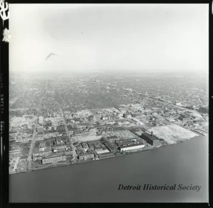
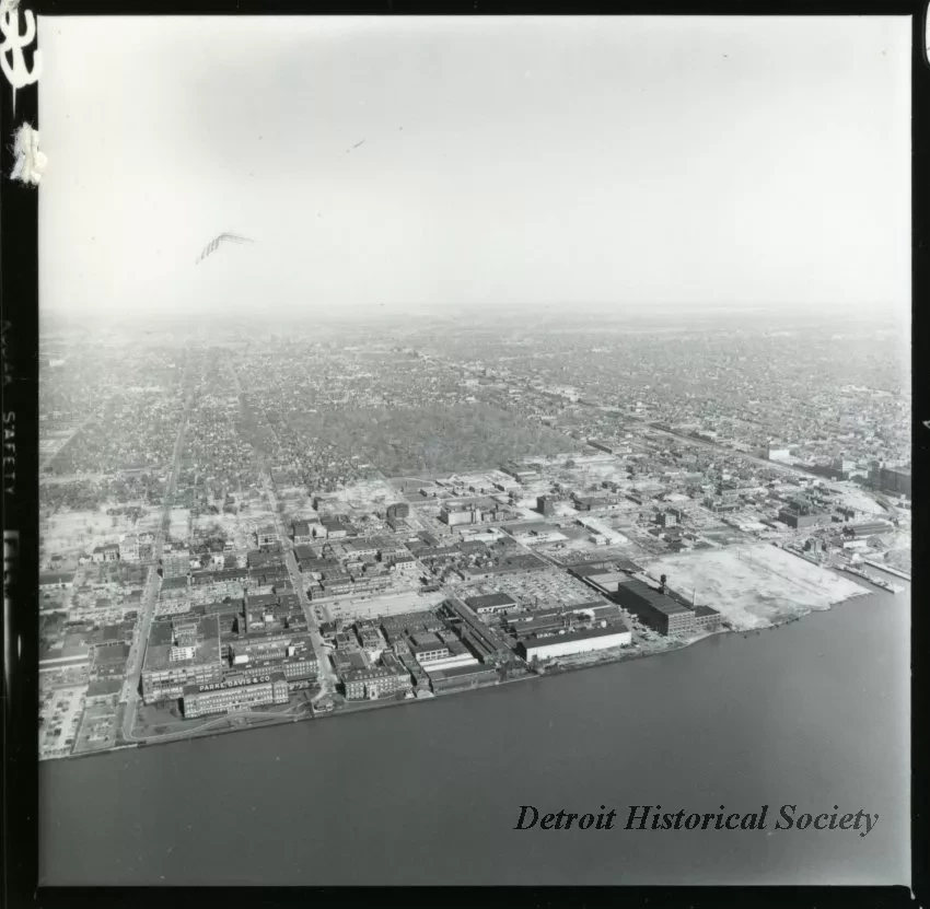
Black and white aerial photograph cut from a proof sheet taken of the Rivertown-Warehouse District, and the areas beyond, taken from a point above the Detroit River roughly extending from McDougall Street, facing northeast. The Parke, Davis and Company complex, the Lighthouse Depot, Elmwood Park, Elmwood Cemetery, and Mt. Elliott Cemetery are in view. Joseph Campau Street, McDougall Street, Mt. Elliott Street, and East Grand Boulevard all extend toward the horizon. Jefferson Avenue and Lafayette Street stretch below the center of the frame. The ninety-degree curve of Michigan Central Belt Line Railroad, south of East Jefferson Avenue, is visible near the right edge. A swath of factories lines both sides of the railroad, running parallel with Mt. Elliott Avenue. "M-2054," was handwritten on the verso of the proof sheet.
Request Image

