2013.049.460
Blueprint
Civic Center Plaza - General Site Plan
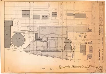
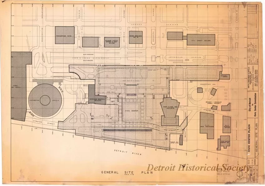
One blueprint drawing entitled "Civic Center Plaza - General Site Plan." The drawing (sheet 1 of 22) shows the overall layout of a proposed plaza at the foot of Woodward Avenue. The plaza, later named Hart Plaza, is generally bounded by Jefferson Avenue on the north, the Henry & Edsel Ford Auditorium on the east, the Detroit River on the south, and the Veterans Memorial Building on the west. Adjacent streets and buildings are shown and labeled on the plan. Atwater Street is shown as being relocated in a tunnel beneath the plaza. The title block along the right edge of the sheet shows that the drawing was prepared at a scale of 1 inch = 60 feet by Smith, Hinchman & Grylls Associates, Inc., and is dated January, 1968.
Request Image

