
Chart, Informational
U.S. Department of Agriculture, Weather Bureau. Wreck Chart Showing the Location of Wrecks Occasioned through Founderings, Gales of Wind, Fogs, and General Stormy Weather Conditions from 1886 to 1891.
16909 Results Found

U.S. Department of Agriculture, Weather Bureau. Wreck Chart Showing the Location of Wrecks Occasioned through Founderings, Gales of Wind, Fogs, and General Stormy Weather Conditions from 1886 to 1891.
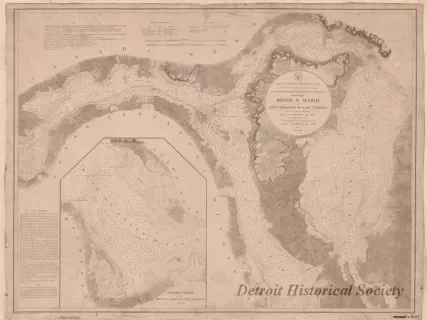
Chart No. 1 of River Ste. Marie from
Point Iroquois to East Neebish
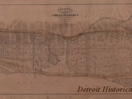
Topographical Map of Belle Isle Park
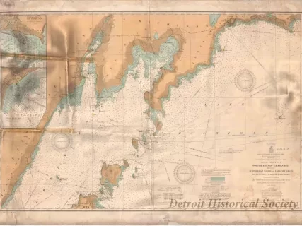
Coast Chart No. 1,
North End of Green Bay Including Northwest Shore of Lake Michigan
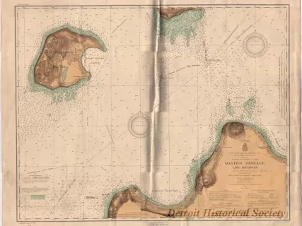
Manitou Passage, Lake Michigan
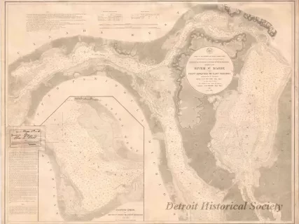
Chart No. 1 of River Ste. Marie from
Point Iroquois to East Neebish
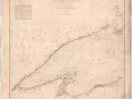
Lake Superior Chart No. 3
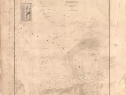
Lake Superior Chart No. 1
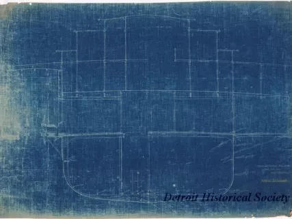
Cross-Sections, Str. No. 71

Plan of Gallery - Deck, Str. City of Cleveland, No. 71
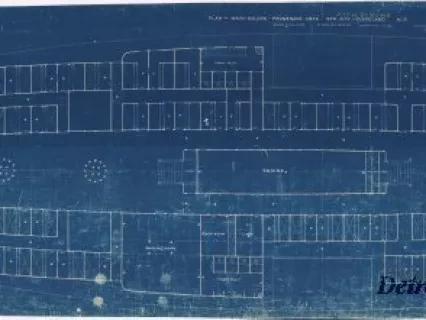
Plan of Main Saloon - Promenade Deck, Str. City of Cleveland, No. 71
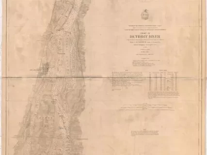
Chart of Detroit River