Chart, Navigational
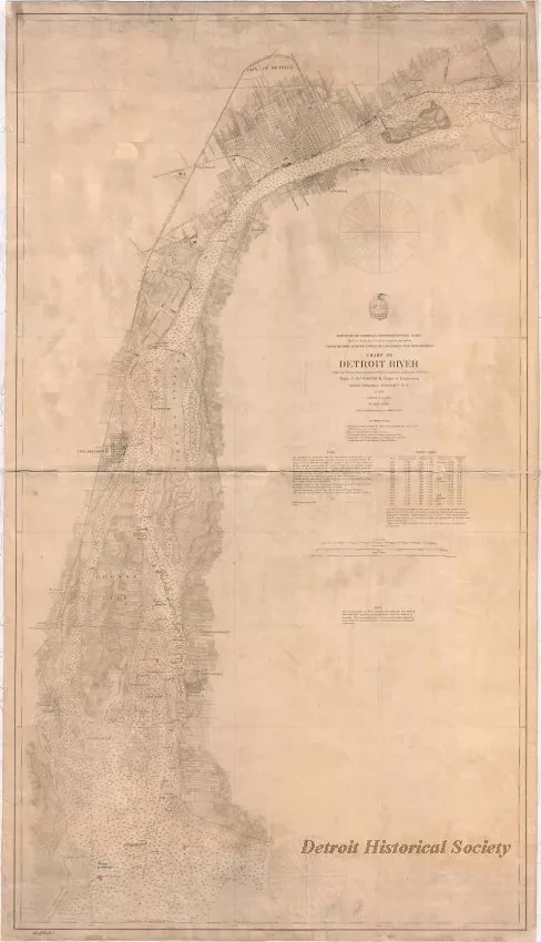
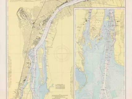
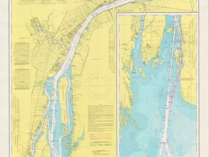
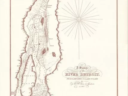
Chart of Detroit River
One navigational chart entitled, "Chart of Detroit River" that was compiled and published as part of the Survey of the Northern and Northwestern Lakes (War Department, Corps of Engineers). It was "Projected from a Trigonometrical Survey executed under the orders of Major C. B. Comstock, Corps of Engineers." The chart is drawn at a scale of 1:40,000 and shows the Detroit River from Wind Mill Point at the lower end of Lake St. Clair down to Pointe Mouillée at the lower end of the river. Land areas are shaded in various gray textures based upon the type of land use. Lake areas are shown in white with red or blue being used to denote dumping ground areas. Distances are given in statute miles. Soundings for lake depths are given in feet. Lines of latitude and longitude are shown in black. Lighthouses and buoys are also noted. The chart was originally published in 1876, but a note indicates that aids to navigation have been corrected to May 1, 1891. Also, a note in the upper area of the chart shows "Harbor Lines Established by Secretary of War, Sept. 23, 1892."
Request Image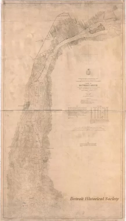
![Map - Plan Topographique du Détroit et des eaux qui forment la jonction du
Lac Erié avec le Lac St. Clair
[Topographic plan of Detroit and the waters which form the junction of
Lake Erie with Lake St. Clair]](/sites/default/files/styles/430x323_1x/public/artifact-media/166/2013042241.jpg.webp?h=1c4f1430&itok=F_OLdfyO)
![Blueprint - Plan Topographique du Détroit et des eaux qui forment la jonction du Lac Erié avec le Lac St. Clair
[Topographic plan of Detroit and the waters which form the junction of Lake Erie with Lake St. Clair]](/sites/default/files/styles/430x323_1x/public/artifact-media/182/2013049002.jpg.webp?h=380d14e7&itok=Y-lgr0_P)
![Map - Plan Topographique du Détroit et des eaux qui forment la jonction du Lac Erié avec le Lac St. Clair
[Topographic plan of Detroit and the waters which form the junction of Lake Erie with Lake St. Clair]](/sites/default/files/styles/430x323_1x/public/artifact-media/221/2014004077.JPG.webp?h=e6f96c9a&itok=6_zxz_O6)
