Chart, Navigational
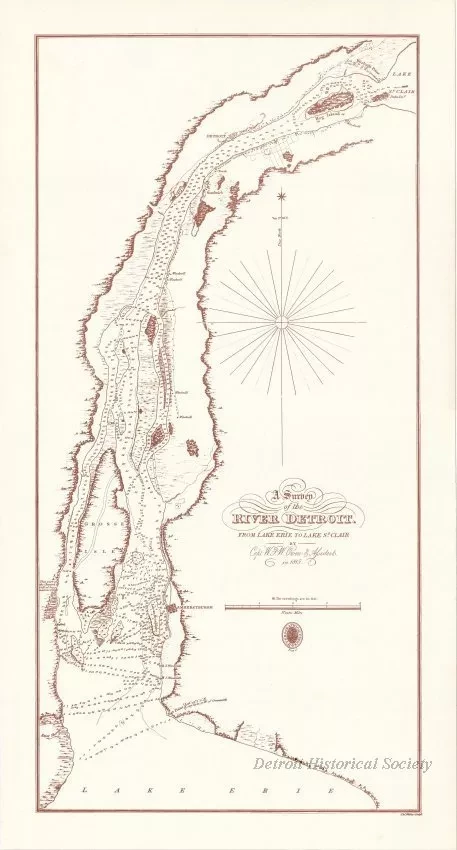
A Survey of the River Detroit from Lake Erie to Lake St. Clair
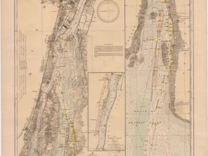
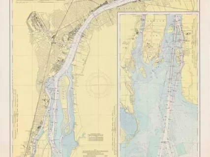
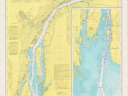
One reproduction navigational chart entitled, "A Survey of the River Detroit from Lake Erie to Lake St. Clair" that was prepared by "Capt. W. F. W. [William Fitz William] Owen & Assistants in 1815." The survey is printed in brown ink on light tan paper and shows the Detroit River from Windmill Point on Lake St. Clair down to Bar Point on Lake Erie. The survey shows shoreline details, various islands, tributary rivers/streams, marshes, wooded areas, and soundings in feet. Houses and windmills are shown as well as the towns of Detroit, Sandwich, and Amherstburgh [Amherstburg]. A north arrow and degrees of magnetic variation are also shown. The survey is drawn at a scale of 1 inch = 1 nautical mile. An oval stamp emblem of the "Hydrographical Office" of the United Kingdom is shown beneath the bar scale in the lower right area of the survey. This reproduction chart was printed in 1961 or 1962.
Request Image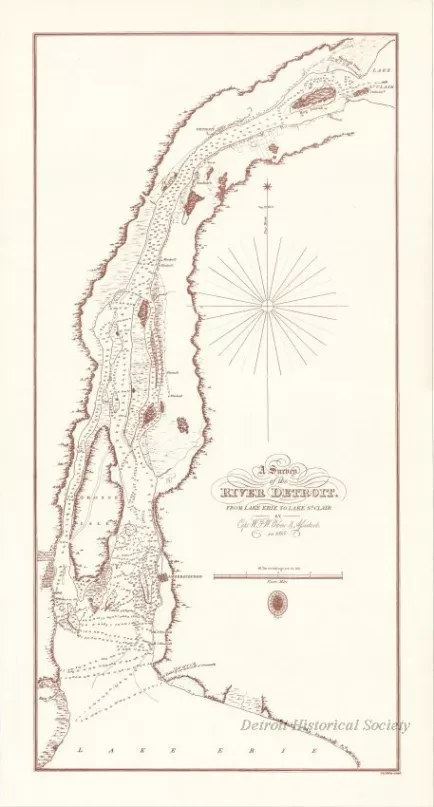
![Map - Plan Topographique du Détroit et des eaux qui forment la jonction du
Lac Erié avec le Lac St. Clair
[Topographic plan of Detroit and the waters which form the junction of
Lake Erie with Lake St. Clair]](/sites/default/files/styles/430x323_1x/public/artifact-media/166/2013042241.jpg.webp?h=1c4f1430&itok=F_OLdfyO)
![Blueprint - Plan Topographique du Détroit et des eaux qui forment la jonction du Lac Erié avec le Lac St. Clair
[Topographic plan of Detroit and the waters which form the junction of Lake Erie with Lake St. Clair]](/sites/default/files/styles/430x323_1x/public/artifact-media/182/2013049002.jpg.webp?h=380d14e7&itok=Y-lgr0_P)
![Map - Plan Topographique du Détroit et des eaux qui forment la jonction du Lac Erié avec le Lac St. Clair
[Topographic plan of Detroit and the waters which form the junction of Lake Erie with Lake St. Clair]](/sites/default/files/styles/430x323_1x/public/artifact-media/221/2014004077.JPG.webp?h=e6f96c9a&itok=6_zxz_O6)
