Map
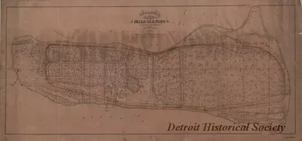
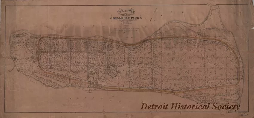
Topographical Map of Belle Isle Park
One map entitled "Topographical Map of Belle Isle Park." The map shows the general topography of the island including treed areas, roads, ditches, buildings, ponds, a lighthouse, contour elevations, and property lines. The survey was done by Eugene Robinson who was assisted by E. M. Veenfliet, Civil Engineer, and A. Mangelsdorf, Draughtsman. It was drawn in black, red, blue, and yellow ink at a scale of 1 inch = 300 feet. An underlying grid is shown in red which includes a line of stations (at 100-foot increments) near the center of the island that runs from 0 to 106. A second line of stations, perpendicular to the central line, is shown at the right side of the survey and it runs from -14 to 36. Printed text in the lower right corner shows "Heliotype Printing Co., Boston."
Request Image

