W1959.010.008a
Chart, Informational
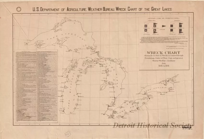
U.S. Department of Agriculture, Weather Bureau. Wreck Chart Showing the Location of Wrecks Occasioned through Founderings, Gales of Wind, Fogs, and General Stormy Weather Conditions from 1886 to 1891.
Informational chart printed in black ink on white paper showing numbered locations of 147 shipwrecks across the five Great Lakes. A table in the lower left corner lists corresponding numbers for the map locations and offers brief details about the wreck such as the vessel name, cause of the wreck, date, and losses. Small printed text in the lower right corner shows "The Norris Peters Co., Photo-Litho, Washington, D.C."
Request Image

