2013.049.117
Blueprint
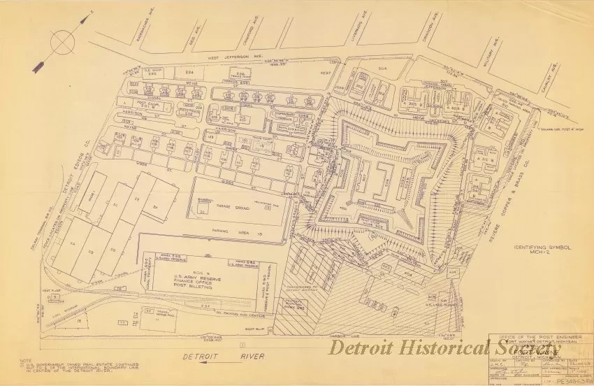
General Map of Fort Wayne, Detroit, Michigan
One blueprint drawing titled "General Map of Fort Wayne, Detroit, Michigan." The drawing (sheet 1 of 1) shows a plan view of the Fort Wayne property including boundary lines with bearings and distances, building numbers, street names, railroad lines, and adjacent property owners. A title block in the lower right corner of the sheet indicates that the drawing was prepared by the "Office of the Post Engineer" at a scale of 1 inch = 100 feet and is dated "23 Jan. 1963."
Request Image

