2013.049.048
Blueprint
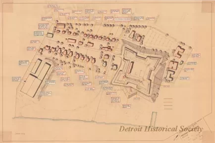
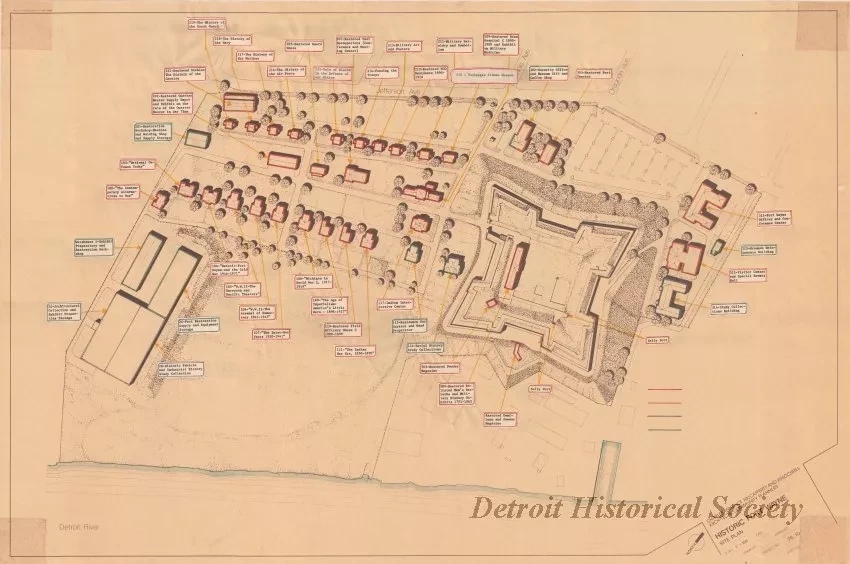
Historic Fort Wayne - Site Plan
One blueprint drawing entitled "Historic Fort Wayne - Site Plan." The drawing shows an overall view of the fort property from Jefferson Avenue to the Detroit River. Building numbers and names are shown on typewritten labels. A title block in the lower right corner indicates that the drawing was prepared by Charles Terrence McCafferty and Associates at a scale of 1 inch = 100 feet.
Request Image

