2013.049.109
Blueprint
Riverfront Parade Ground,
Historic Fort Wayne
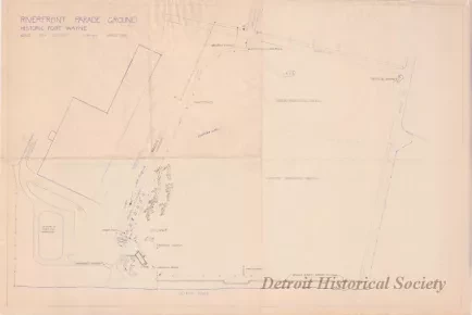
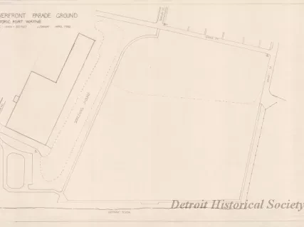
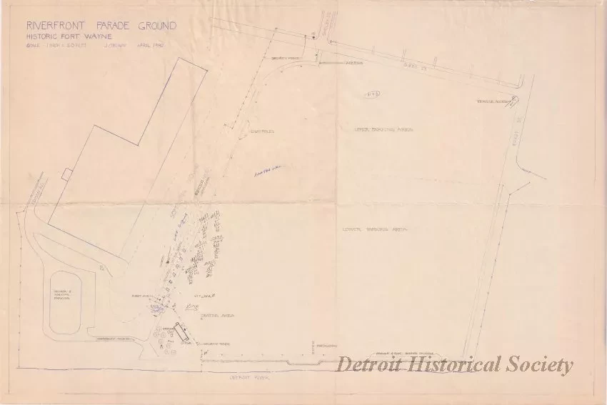
One blueprint entitled "Riverfront Parade Ground, Historic Fort Wayne." The drawing shows a plan view of the parade ground area at Fort Wayne. Edison Road, a building, and a parking area can be seen at the left side of the sheet. Shelby, Gibbs, and Brady Streets can be seen at the top of the sheet and the Detroit River is shown at the bottom. Handwritten pencil drawings show the locations of a temporary stage, seating, fencing, access routes, and vendor booths near the lower left corner of the parade ground area. The plan was prepared by James Conway at a scale of 1 inch = 50 feet and is dated April, 1982.
Request Image


