2013.049.047
Blueprint
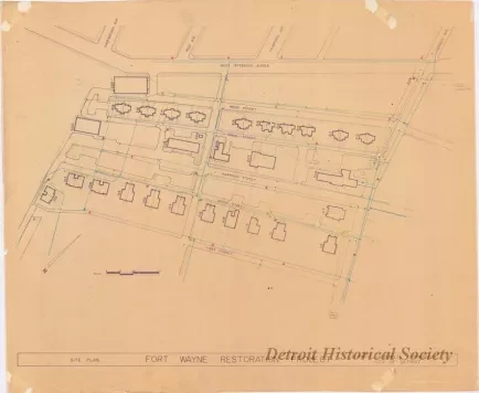
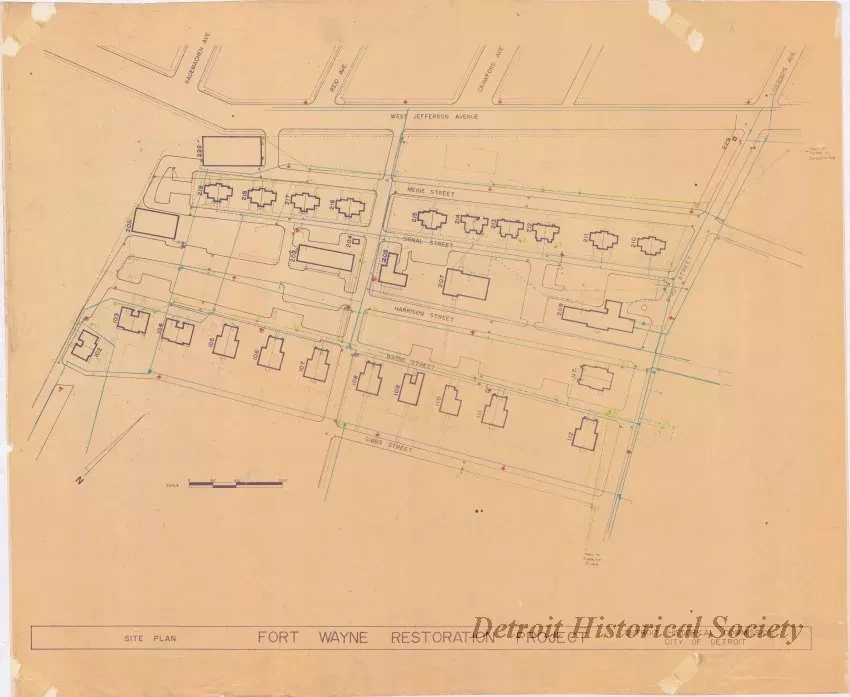
Site Plan - Fort Wayne Restoration Project
One blueprint drawing entitled "Site Plan - Fort Wayne Restoration Project." The drawing shows an overall view of the streets and fort buildings that are located west of Brady Street. Hand drawn lines in various colors show the locations of existing underground utilities including water main, sanitary sewer, and storm sewer. The locations of hydrants, gate wells, manholes, and catch basins are also indicated. A bar scale in the lower left corner area indicates that the drawing is shown at a scale of 1 inch = 50 feet.
Request Image

