2013.042.592
Blueprint
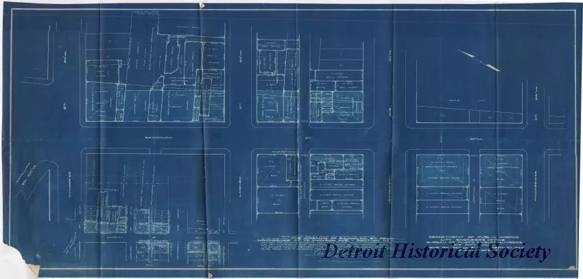
The Widening of Randolph St. from Woodbridge St. to Madison Ave. - Section No. 1
One blueprint of a plat map that shows the property lines and road rights-of-way along Randolph Street from Woodbridge Street to Congress Street. The certification statement in the lower left corner indicates that the "plat shows the property to be taken for The Widening of Randolph St. from Woodbridge St. to Madison Ave. - Section No. 1." It is signed, "Perry A. Fellows, City Engineer." The title block in the lower right corner shows "Department of Public Works, City Engineer's Office, Bureau of Streets, 412 City Hall; Sur. Bk. 827, pp. 5-17. Scale: 1" = 30', & 100', Sept. 27, 1929."
Request Image

