2016.072.007
Catalog, Sales
Nautical Charts of the Great Lakes
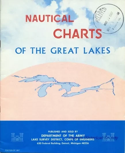
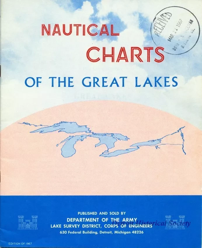
One softcover catalog entitled "Nautical Charts of the Great Lakes." The booklet-style catalog has a simple drawing on the cover that depicts an aerial view outline of the Great Lakes. The catalog is 23 pages long and lists all of the nautical charts that were available for sale by the Army Corps of Engineers, U. S. Lake Survey District in Detroit. The listings include the chart number, scale, paper size, and price. The geographical area of coverage for each chart is also shown on small-scale maps which are included in the catalog. An order form is shown on the last page.
Request Image


