1959.317.011
Chart, Aeronautical
Chicago Sectional Aeronautical Chart
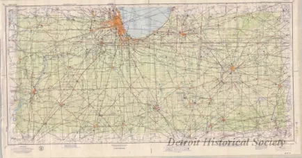
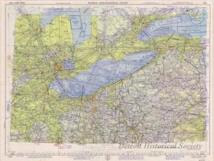
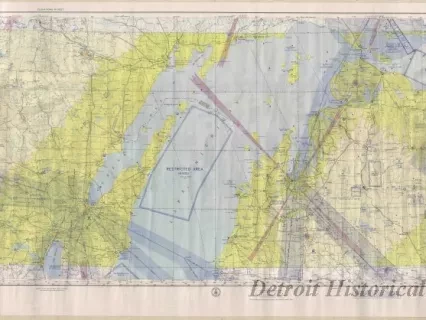
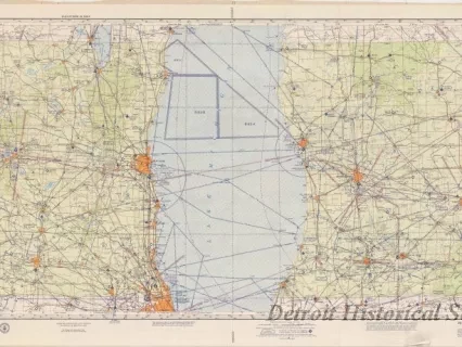
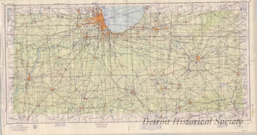
One aeronautical route chart entitled "Chicago Sectional Aeronautical Chart." The multicolor chart shows principal air traffic routes from Chicago to the west, south, and east. Land areas are shown in white and pale green. Water areas are shown in pale blue. Lines of latitude and longitude are shown in black. Course bearings, lines of magnetic variation, air traffic control areas, radio, and other information is also shown. The chart was compiled by the U. S. Coast and Geodetic Survey and was printed in Washington, D.C. The chart is shown at a scale of 1:500,000 and is dated June 18, 1959.
Request Image