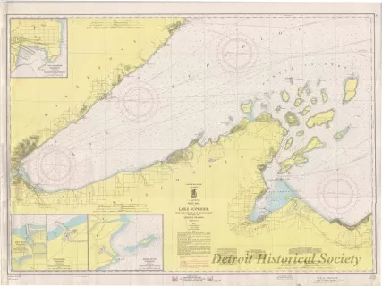
Chart, Navigational
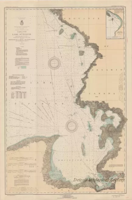
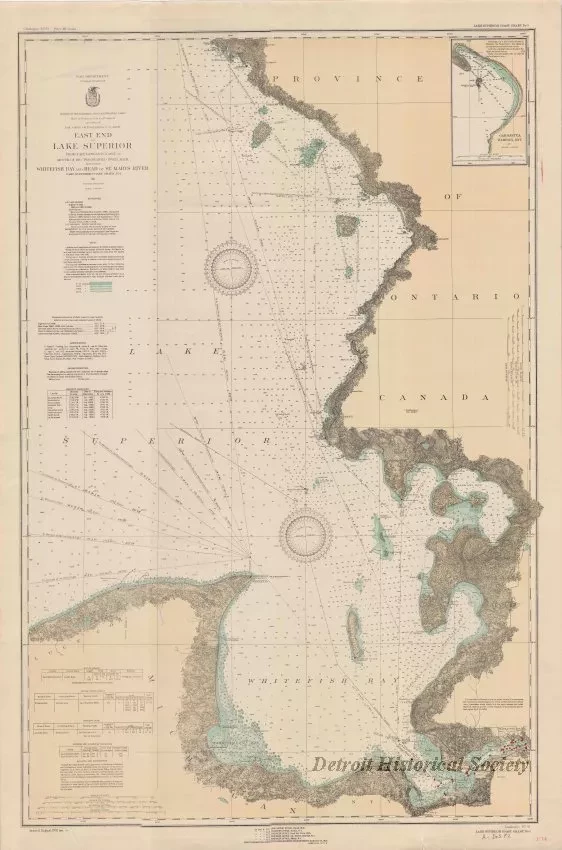
East End of Lake Superior - From Cape Gargantua. Ont., to Mouth of Big Two Hearted River, Mich., Including Whitefish Bay and Head of St. Mary's River
One navigational chart entitled, "East End of Lake Superior - From Cape Gargantua. Ont., to Mouth of Big Two Hearted River, Mich., Including Whitefish Bay and Head of St. Mary's River." The chart was compiled and published as part of the Survey of the Northern and Northwestern Lakes (War Department, Corps of Engineers). It is a polyconic projection and is drawn at a scale of 1:120,000. Land areas are shaded in pale yellow with black and gray shading for various geographic features. Deep water areas of the lake are shown in white and shallow area are shown in pale blue shading. Distances are given in statute miles. Soundings for lake depths are given in fathoms and feet. Lines of latitude and longitude are shown in black. Lighthouses are also shown along with notes for sailing directions and water level data. Printed text in the lower left corner indicates that the chart was "Issued August, 1931." An inset map for Gargantua Harbor, Ontario, is shown in the upper right corner of the sheet.
Request Image