Chart, Navigational
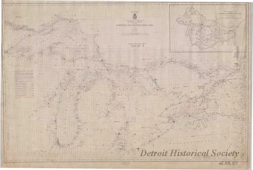
General Chart of the Northern and Northwestern Lakes
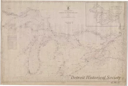
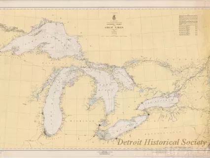
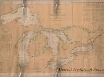
One navigational chart entitled, "General Chart of the Northern and Northwestern Lakes," that was compiled and published by the U.S. Lake Survey, War Department, Corps of Engineers. The chart (No. 0) is a polyconic projection and is drawn at a scale of 1:1,200,000. It shows all of the Great Lakes region from Duluth, Minnesota, to Sorel, Quebec, on the St. Lawrence River. The chart details are printed in black and red on off-white linen. Lake areas show depth contour lines in fathoms. Distances are given in statute miles. Lines of latitude and longitude are shown in black. Magnetic observation stations are marked in red along the U.S. and Canadian shorelines. Principal lighthouses are also noted. A small inset map of the Great Lakes drainage basin is shown in the upper right corner area of the chart.
Request Image


