1959.328.005
Chart, Navigational
Lake Superior
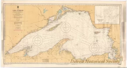
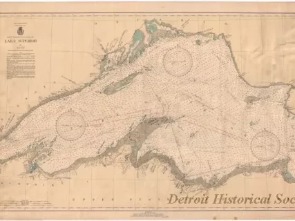
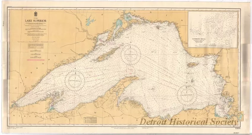
One navigational chart entitled, "Lake Superior," that was compiled and published by the Canadian Hydrographic Service. The polyconic projection is drawn at a scale of 1:547,160 and shows the entire lake area from Duluth, Minnesota, to Sault Ste. Marie, Ontario. Land areas are shown in pale yellow. Lake areas are shown in white and light blue. Distances are given in statute miles. Soundings for lake depths are given in fathoms. Lines of latitude and longitude are shown in black. Major lighthouses along the shoreline are also noted.
Request Image


