Chart, Navigational
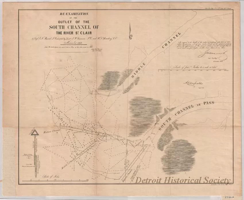
Re-Examination of the Outlet of the South Channel of the St. Clair River
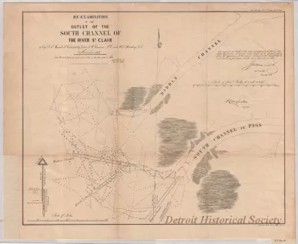
Navigational chart entitled, "Re-Examination of the Outlet of the South Channel of the St. Clair River," that was compiled by Capt. J. N. Macomb, T.E. [Topographical Engineer], assisted by Lieut. J. W. Gunnison, T.E., and W. N. Hearding, C.E. [Civil Engineer]. The survey work is dated November, 1852, but a second note shows "Copy, Topl. Bureau, Nov. 17th, 1854." The chart is drawn at a scale of 1:15,840 (four inches = 1 mile) and shows the area at the outlets of the South Channel and Middle Channel of the St. Clair River which flow into Lake St. Clair. The chart is drawn in black ink on slightly yellowed paper and shows shorelines, water depths in feet, several depth contour lines, navigational channels, a north arrow and magnetic north, detail of a navigational marker, and the boundary line between the United States and Canada. Printed text in the upper right corner shows "Sen. Ex. Doc. No. 1, 2nd Sess., 33rd Cong." Printed text in the lower right corner shows "D. Chillas Lith., 50 So. 3rd St., Philada."
Request Image
![Chart, Navigational - Map of the Delta of the St. Clair [River]](/sites/default/files/styles/430x323_1x/public/artifact-media/178/2013049341.jpg.webp?h=ab681183&itok=-39sEgx5)

