2013.049.390
Drawing, Architectural
A Proposed Framework for the Inner City of Detroit,
Illustrating Form and Space Possibilities
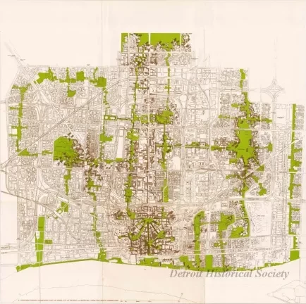
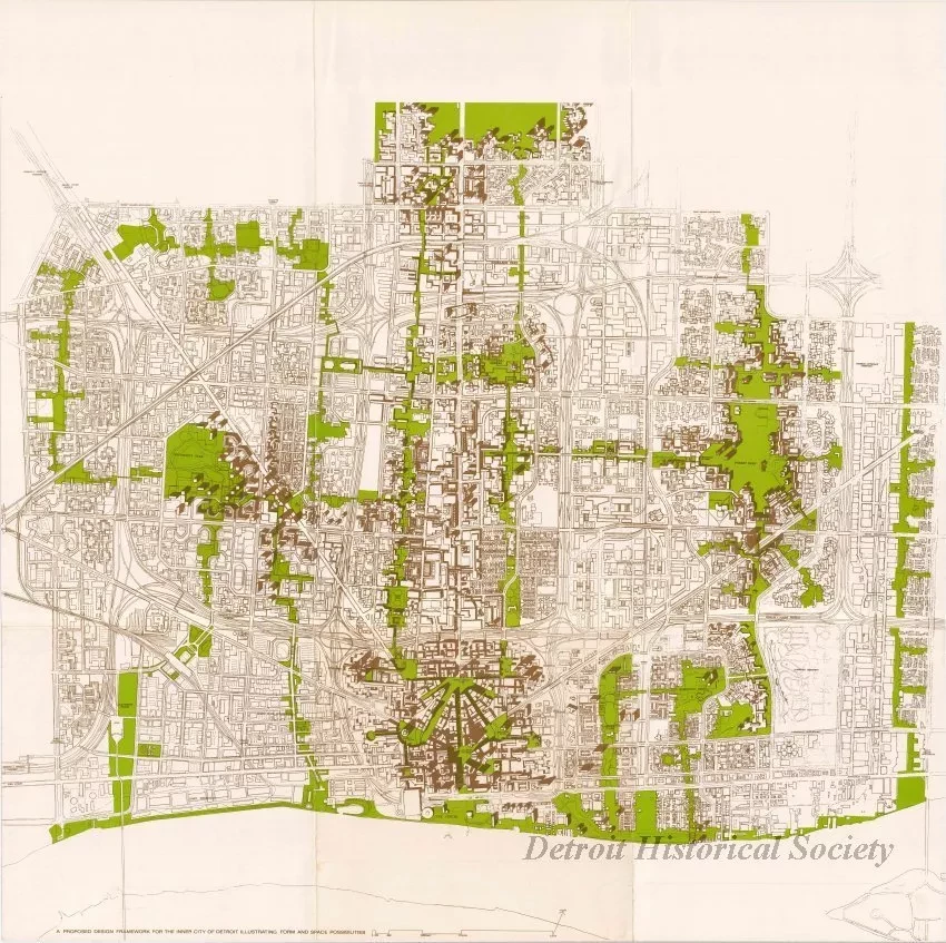
One architectural drawing (and 1 copy) entitled "A Proposed Design Framework for the Inner City of Detroit, Illustrating Form and Space Possibilities." The drawing is printed in green and brown ink on white paper and shows a street map that covers the Downtown, Midtown, and New Center areas of the city. Existing buildings are shown in brown. Green areas on the map show how various park and green space areas could be developed in order to link business and residential areas across the inner region of the city. Probably, this conceptual drawing was designed by the City Planning Department or by a planning consultant.
Request Image

