Film, Motion Picture
Wayne State University
Detroit's Pattern of Growth
Print No. 4
Color 16mm reel containing the film, "Detroit's Pattern of Growth" produced by Robert J. Goodman, Professor of Geography, and Gordon W. Draper of Wayne State University. The film details several phases in the development of Detroit's street patterns, and combines a stylized animated map with footage shot around the city.
The film begins with Detroit's early history, illustrated with shots of the Detroit Historical Museum's dioramas from the J.L. Hudson Company's 1951 Detroit Historama display, an illustrations of the early maps of Fort Pontchartain. Fort Pontchartrain and surrounding paths are featured, as is the base triangle unit of the Woodward Plan.
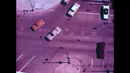
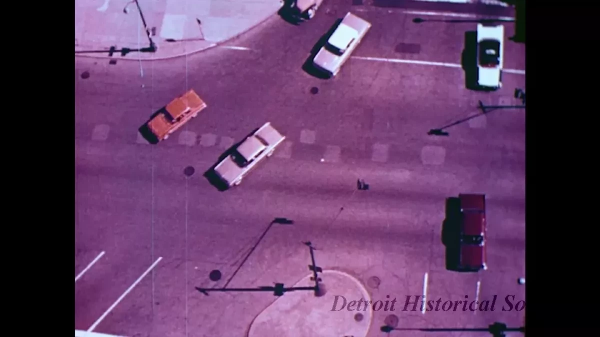
To illustrating the effects on traffic of parks, like those called for by the Woodward Plan, the film uses an aerial shot of traffic traveling east on Ledyard Street from Second Avenue, around Cass Park.
The film continues, explaining the limited implementation of the Woodward Plan downtown, and how it connected to the major streets which followed old trade routes--Fort Street, Michigan Avenue, Grand River Avenue, Woodward Avenue, Gratiot Avenue, and East Jefferson Avenue. It also attributes an orchard owned by the Brush family as the reason for the discontinuity between Gratiot Avenue and the main spoke of Monroe Avenue from Woodward's plan. The camera follows a station wagon as it heads northeast on Monroe, turns northwest onto Randolph Street, then turns northeast onto Gratiot to illustrate this route.
Next, the film relates the roads running from the riverfront to boundaries of early frames, and attributes discontinuous perpendicular streets to farmers who sought to keep their land undivided. The crooked path of Vernor Highway is cited as a result of this issue.
The film continues, noting that cross streets frequently change name at Woodward, and the street signs for Taylor Street/Josephine Street and Smith Street/Pallister Street are shown.
Next the film discusses the plan for Grand Boulevard. This section is illustrated with footage of traffic on Grand Boulevard--some showing the street in the winter. The narrator discusses how many of what were originally large houses along the boulevard have become convalescence hospitals, beauty salons, funeral homes, and day care centers. This section is paired with shots of a three story Tudor house, a Greek Revival house, the Chandler Convalescent Center on the south corner of East Grand Boulevard and East Vernor Highway, the Ling Funeral Home at 915 East Grand Boulevard (between Sylvester Street and East Canfield Street), the Ethical Hair Shop at 2696 West Grand Boulevard (between Poe Avenue and Kipling Avenue), and the playground of the Boulevard Day Nursey near the west corner of West Grand Boulevard and Woodrow Wilson Street. While describing some of the twists and turns the Boulevard marks, the film features shots of the street signs for 16th Street and La Salle Boulevard, Hastings Street and Melrose Street, and traffic at Second Avenue and West Grand Boulevard.
Next the film focuses on Highland Park. The film mentions the importance of the Ford Motor Company's Highland Park Plant to the development of community, and how it is based upon a grid centered on Woodward Avenue. To illustrate how the streets connected to Detroit's streets as the city grew around Highland Park, the camera follows a station wagon travels around the slight curve on Second Avenue at the border between Webb Street and Elmhurst Street, where the road also narrows.
Using a map of the grid street system on the city's northwest side, the film then covers the mile road system--Ford Road, Warren Avenue, Joy Road, Plymouth Road, Schoolcraft Road, Fenkell Avenue, McNichols Road, Seven Mile Road, and Eight Mile Road. In this grid system, the film then characterizes the north-south streets as predominately residential, and the east-west streets as commercial. A street lined with duplex homes illustrates the former, while footage of storefronts along the north side of McNichols Road between Woodingham Drive and Santa Barbara Drive show the latter. Among the businesses featured as Kotin and Smith Meats and Poultry, Selma Bonheim Corsets, Blanche Bridal Shoppe, Harold's Bakery, and a Mobil gas station. The film also notes the sizable number of used car dealerships along Livernois Avenue. The west side of Livernois, north of Fullerton Street is show--the camera pans past Redford Sales Chrysler-Plymouth Dealership, Sydney, Chick and Harlien.
The film also posits that many of the city's traffic problems occur at the points where the different patterns of street planning intersect. The street signs for Conant Avenue, Dunn Street, and Mt. Elliott Street are shown, as is the intersection of Davison Street and McNichols Road, and Davison Street and Wyoming Avenue.
The routes of the Edsel Ford Freeway and John C. Lodge Freeway are also traced on the map, as the narrator explains how they conform to preexisting street patterns.
The film is contained on a metal Compo Corporation reel, and housed within a grey metal canister. A label from George W. Colburn Laboratory Incorporated of Chicago, Illinois is printed with, "Wayne State University, Detroit's Pattern of Growth, Print No. 4."
Request Image

