Map
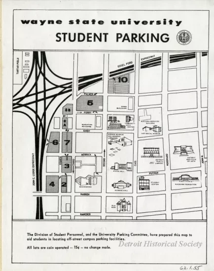
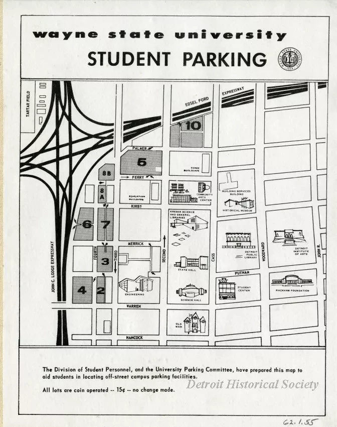
Map, mounted on linen, of the Wayne State University campus, c. 1960, showing the locations for student parking. Text at the bottom of the map reads "The Division of Student Personnel, and the University Parking Committee, have prepared this map to aid students in locating off-street campus parking facilities. All lots are coin operated -- 15c -- no change made." The map itself shows the campus of Wayne State University, with the John C. Lodge Expressway as the western border, the Edsel Ford Expressway as the northern border, John R. as the eastern border, and Hancock as the southern border. In addition to 10 parking facilities, the map also indicates the locations of the following buildings: Education Building, Cohn Building, Community Arts Center, Building Services Building, Historical Museum, Detroit Institute of Arts, Rackham Foundation, Student Center, Detroit Public Library, Kresge Science and General Libraries, State Hall, Science Hall, Engineering, and Old Main.
Request Image

