1962.001.054
Map
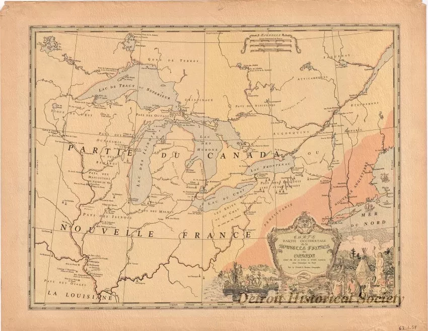
Carte, Partie Occidentale de la Nouvelle France ou Canada
One map entitled "Partie Occidentale de la Nouvelle France ou Canada [Western Part of New France or Canada]." This reproduction map is printed in colored ink on a light tan paper. It was drawn by Donald G. Bouma and shows the area of New France in North America as it existed in the 17th and 18th centuries. It covers the area from the Mississippi River valley eastward to the mouth of the St. Lawrence River and from the Ohio River valley northward to Lake Alemenipigon [Nipigon]. The names of principal lakes, rivers, forts, towns, and Indian tribal regions are shown in French along with lines of latitude and longitude.
Request Image

