Map
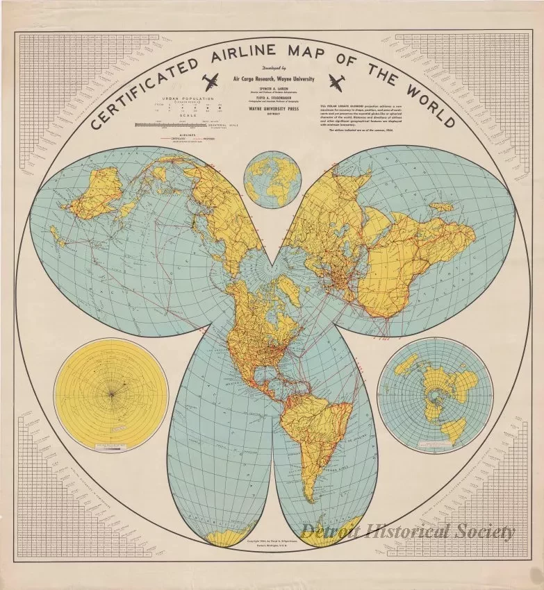
Certificated Airline Map of the World
One map entitled "Certificated Airline Map of the World." The multicolor map shows a "Polar Lobate Globoid" projection of the Earth with principal airline routes shown in red. Airline distances between major cities are shown in the tables in the four corners of the sheet. The map was "developed by Air Cargo Research, Wayne University" under the direction of "Spencer A. Larsen, Director and Professor of Business Administration" and "Floyd A. Stilgenbauer, Cartographer and Associate Professor of Cartography." An inset "hub and spoke" style map of air distances is shown in black and yellow at the lower left side of the sheet and features Detroit at the center. The map is shown at an approximate scale of 1.6 inches = 1000 miles and is dated 1944.
Request Image

