1958.192.039
Map
City of Detroit Department of Street Railways,
Official Map of Detroit's Transportation System
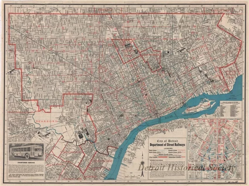
One street map entitled "City of Detroit Department of Street Railways, Official Map of Detroit's Transportation System." The map is printed in black, red, and blue ink on white paper at an approximate scale of 1.4 inches = 1 mile. It shows streets, street names, city and township boundaries, large factory complexes, airports, bus and streetcar routes, and route numbers. An inset map in the lower right corner shows an enlarged map of downtown. The map was printed by "Hearne Brothers." The verso shows a street index.
Request Image

