1962.001.052
Map
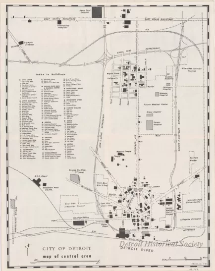
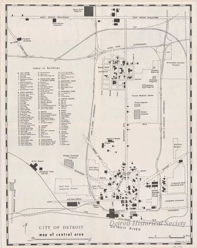
City of Detroit - Map of Central Area
One map entitled "City of Detroit - Map of Central Area." The map shows majors streets in the downtown and midtown areas of the city along with a numbered index of buildings. Several adjacent project development areas are marked with dashed lines. The map was drawn by "F. Barcus" at an approximate scale of 5.4 inches = 1 mile and is dated 1959.
Request Image

