1959.319.001
Map
Detroit
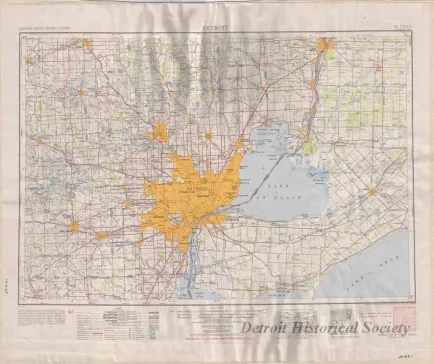
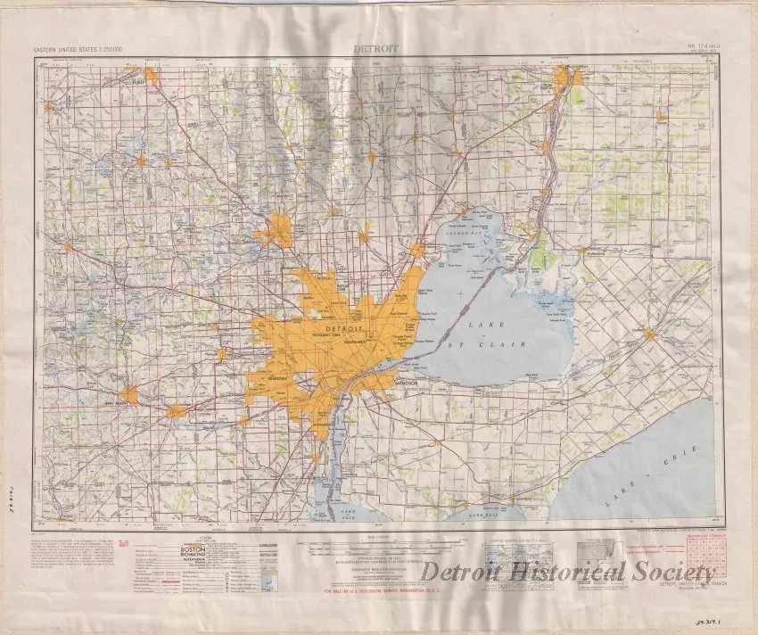
One U. S. Geological Survey (USGS) Map entitled "Detroit." The color map is a Transverse Mercator projection and shows the general topography of the Detroit, Michigan, and Windsor, Ontario, region. It shows cities, towns, major and secondary roads, railroads, airports, lakes, and rivers. The map (number NK 17-4 (40-J)) was prepared at a scale of 1:250,000 by the "Army Map Service, Corps of Engineers, U. S. Army, Washington, D.C.," and is dated 1952.
Request Image

