2013.042.685
Map
Detroit Edison, Map of Detroit Division
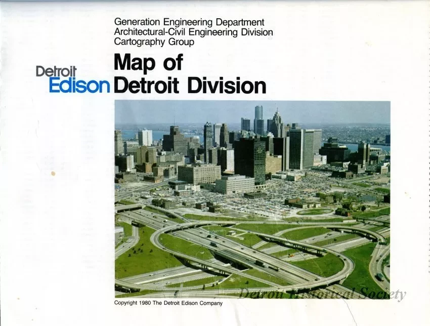
One map entitled "Detroit Edison, Map of Detroit Division." The folded map is printed in black and blue ink on white paper and shows a street map of Detroit and adjacent cities in Wayne County. The address numbering system for the region is shown along with address block numbers and number base lines. The title block in the lower right corner of the sheet shows a color aerial view of downtown and indicates that the drawing was done by the "Generation Engineering Department, Architectural-Civil Engineering Division, Cartography Group" of the Detroit Edison Company. The map was drawn at a scale of 1.75 inches = 1 mile and is dated 1980. An alphabetical street index is printed on the verso.
Request Image

