2013.041.783
Map
Detroit Street Railways Service Map 1959-1960
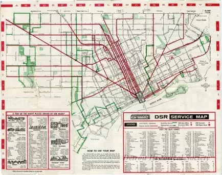
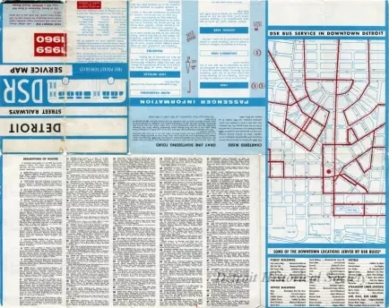
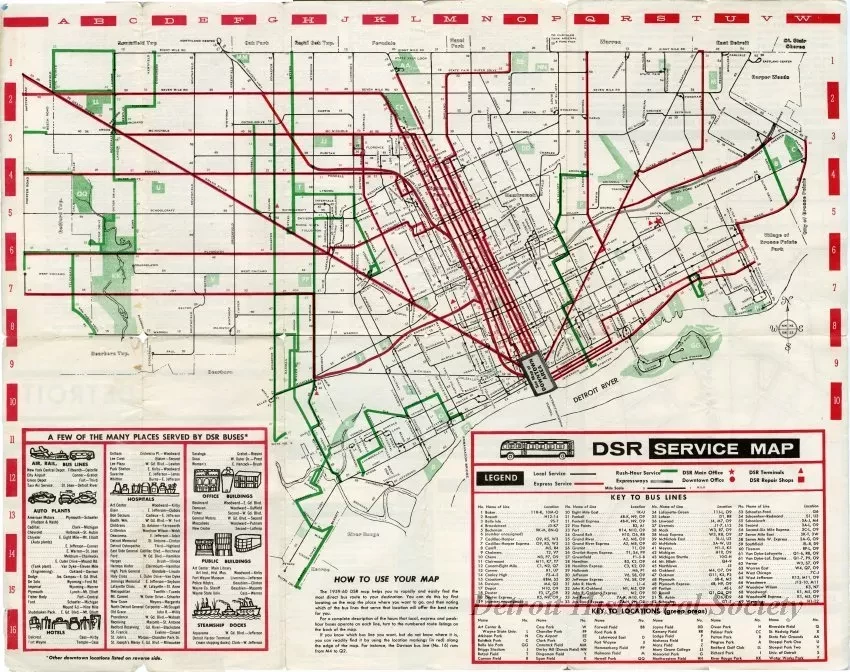
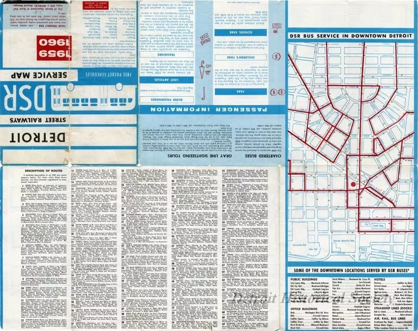
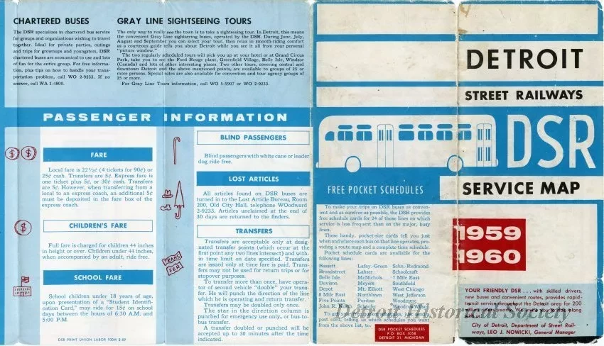
24-panel folding Detroit Street Railways Service Map showing a map of bus lines throughout the metropolitan Detroit area, along with a key of airports, train stations, bus terminals, auto plants, hotels, hospitals, office buildings, public buildings, and docks served by the buses on the recto, and a maps of downtown routes, a section containing information for passengers about fares, transfers, and assistance, and a description of each route.
Request Image