1958.192.042
Map
DSR Transportation Guide of 1947
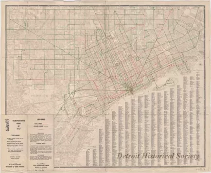
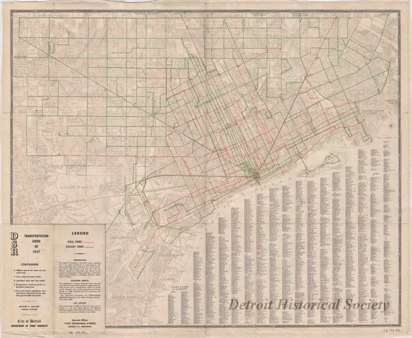
One street map entitled "DSR [Department of Street Railways] Transportation Guide of 1947." The map is printed in black, red, green, and gray ink on white paper at an approximate scale of 1.65 inches = 1 mile. It shows streets, street names, city and township boundaries, and bus and streetcar routes. An alphabetical list of street names is shown in the lower right area of the map. The verso shown an enlarged map of downtown, descriptions of route areas, and DSR regulations. The map was printed by the "National Lithograph Company" of Detroit.
Request Image

