1958.192.006
Map
Generalized Types of Farming in the United States
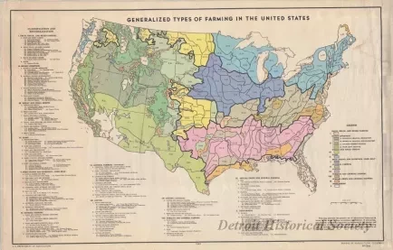
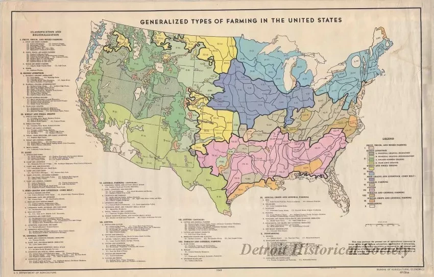
One map entitled "Generalized Types of Farming in the United States." The multicolor map shows the areas of different types of farming practices across the United States as indicated by color code and numerical code. A corresponding legend provides brief descriptive details about each type of farming use. The map was prepared by the U. S. Department of Agriculture, Bureau of Agricultural Economics. It is shown at an approximate scale of 1 inch = 80 miles and is dated 1949.
Request Image

