Map
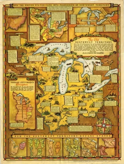
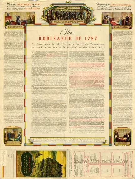
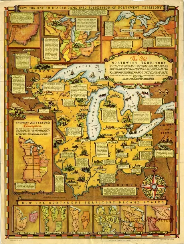
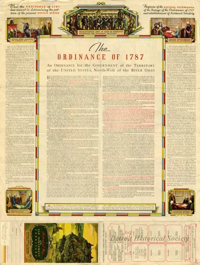
Historical Map of the Old Northwest Territory
Color map, "Historical Map of the Old Northwest Territory." The map was originally a folded pocket map, but has since been unfolded and is a two-sided poster. One side features numerous maps of and text describing the Northwest Territory. Section headings on the poster include "How the United States Came into Possession of Northwest Territory," "Thomas Jefferson's Conception," and "How the Northwest Territory Became States." Text along the bottom border reads "Lithographed in U.S.A." and "Drawing by Federal Art Project, Works Progress Administration of Ohio. F. Rentschler, Artist." The other side features the text of the Ordinance of 1787, the Northwest Territory Celebration Organization Chart, and text and drawings demonstrating what "The Ordinance of 1787 has meant in determining the pattern of the present United States" and the "Program of the National Celebration of the Passage of the Ordinance of 1787 and establishment of Northwest Territory."
Request Image


