Map
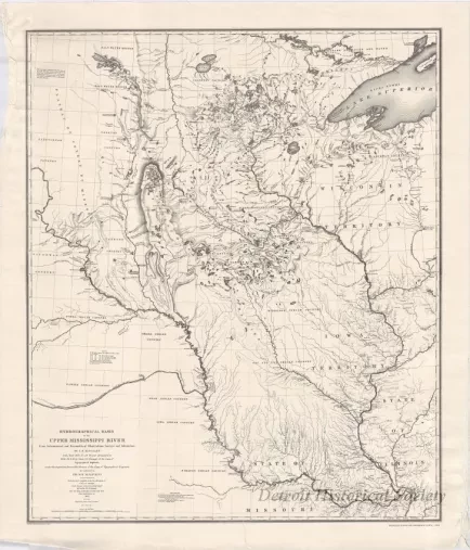
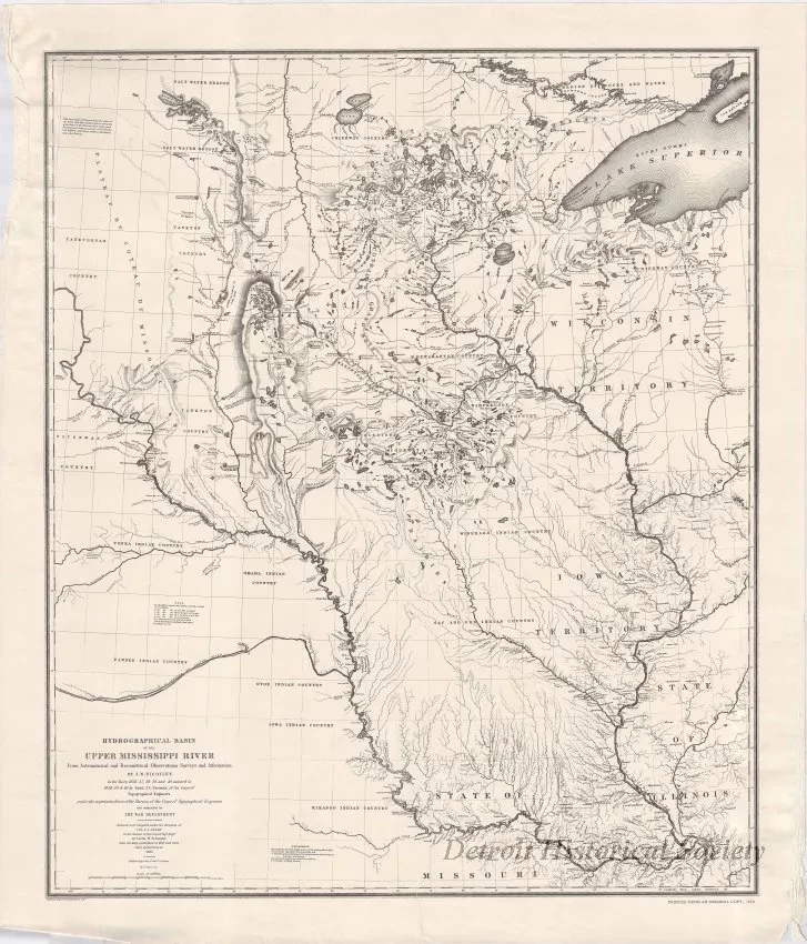
Hydrological Basin of the Upper Mississippi River
From Astronomical and Barometrical Observations, Surveys, and Information
One map reprint entitled, "Hydrological Basin of the Upper Mississippi River From Astronomical and Barometrical Observations, Surveys, and Information" by J. N. Nicollet. The information was prepared "under the superintendence of the Corps of Topographical Engineers" between 1836-1840 and was published in 1843. The map area extends from the confluence of the Missouri and Mississippi Rivers northward to the "Salt Water Region" of present-day Minnesota and to the western end of Lake Superior in present-day Michigan and Wisconsin. The map details are shown in black ink on light tan paper and include major rivers, lakes, mountains, forts, towns, portage routes, and the names of various Indian tribal areas. Distances are given in statute miles. Lines of latitude and longitude are also shown.
Request Image


