2013.042.465
Map
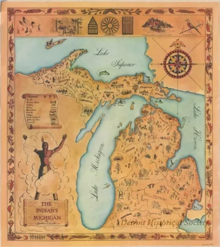
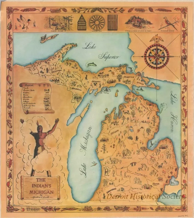
The Indian's Michigan
One map entitled "The Indian's Michigan." The map is an artistically-styled color drawing of the Upper and Lower Peninsulas of Michigan. It shows major rivers, lakes, trails, and certain topographic features as well as the regions that were inhabited by various Indian tribes. Named trails include the Saginaw Trail, Grand River Trail, Territorial Trail, Sauk Trail, and the Old Mackinaw Trail. The map was drawn by Geraldine L. Cowell and is dated 1960.
Request Image

