2014.004.187
Map
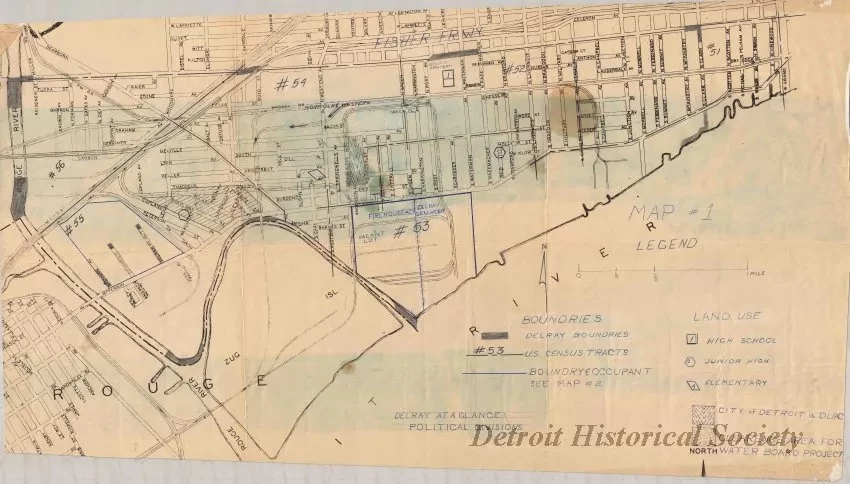
Map #1,
Delray at a Glance
One blueprint map entitled "Map #1" and "Delray at a Glance." The map covers an area bounded by the Rouge River on the west, Fort Street on the north, W. Grand Boulevard on the east, and the Detroit River on the south. It shows streets, street names, schools, and municipal properties in the southwest Detroit neighborhood known as Delray. The map scale is approximately 5.5 inches = 1 mile.
Request Image

