2013.042.680
Map
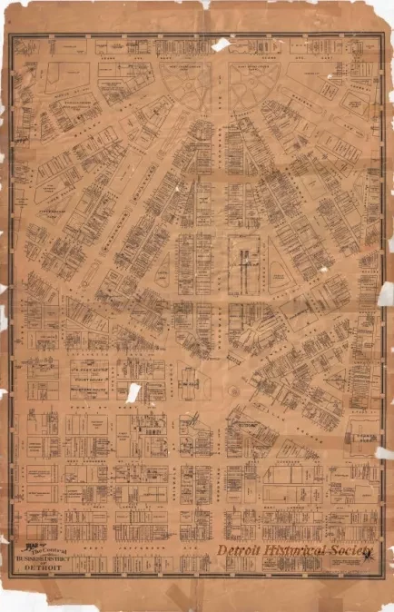
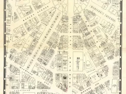
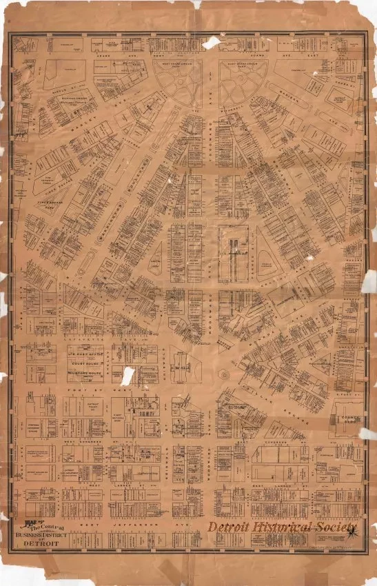
Map of the Central Business District of Detroit
One "Map of the Central Business District of Detroit" that was drawn by William Sauer. The large scale map is printed in black ink on yellowed paper and shows the names and addresses of downtown businesses in an area bounded by Jefferson Avenue on the south, Cass Avenue on the west, Adams Avenue on the north and Randolph Street on the east. The map was drawn by William Sauer and is dated 1934.
Request Image


