1930.121.004
Map
Map of the City of Detroit
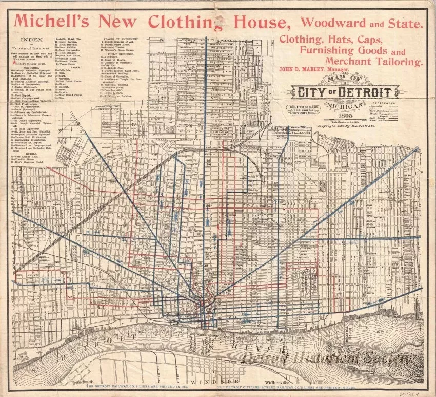
1 - "Map of the City of Detroit"; The map was printed in black, red, green, and blue ink on white paper and shows streets, street names, railroad lines, streetcar lines, parks, and cemeteries within the city limits. In addition, the names of former ribbon farm owners (with private claim numbers) are shown along the shoreline of the Detroit River. An advertisement for "Michell's New Clothing House, Woodward and State" is shown in red text across the top of the sheet. The map was printed by "R. L. Polk & Co., Publishers, Detroit, Mich." at a scale of 2.5 inches = 1 mile and was dated 1895. There is a detached pocket cover entitled "Mitchell's New Clothing House."
Request Image

