1972.001.019
Map
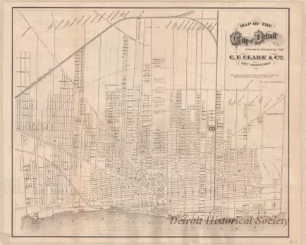
Map of the City of Detroit
One "Map of the City of Detroit" that was "published exclusively for C. F. Clark & Co.'s City Directory." The map is printed in black ink on white paper and shows streets, street names, ward numbers, and railroad lines. It was printed in 1871 by the Calvert Lithograph Company of Detroit. The names of some of the old ribbon farms are listed along the top of the map.
Request Image

