2013.049.380
Map
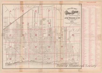
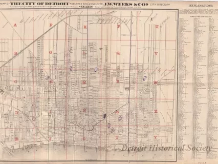
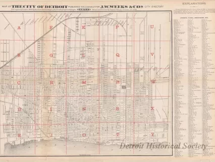
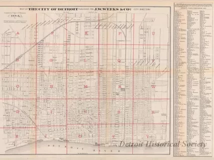
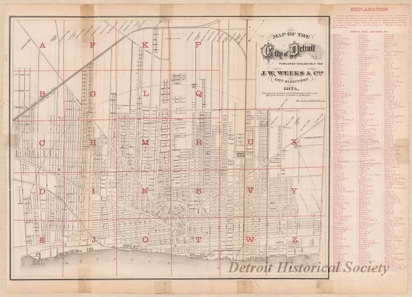
Map of the City of Detroit
One map entitled "Map of the City of Detroit" that was "published exclusively for J. W. Weeks & Co.'s City Directory." It is printed in black and red ink on white paper and shows streets, street names, ward numbers, and railroads in the city. A grid of red lines and letters is also shown which corresponds to the alphabetical index of street names that is shown on the right side of the sheet. The names of some of the old ribbon farm owners are listed along the top of the map.
Request Image