Map
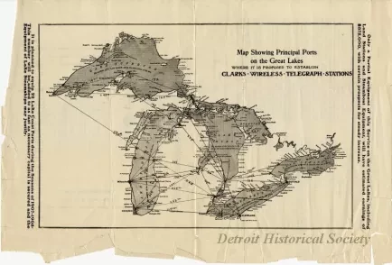
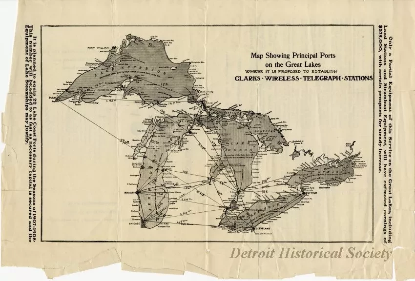
Map Showing Principal Ports on the Great Lakes Where it is Proposed to Establish Clark's Wireless Telegraph Stations.
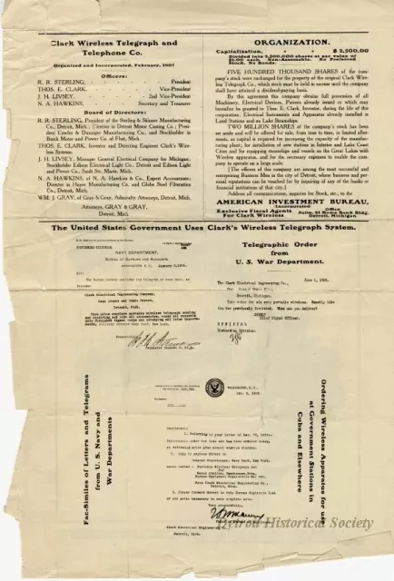
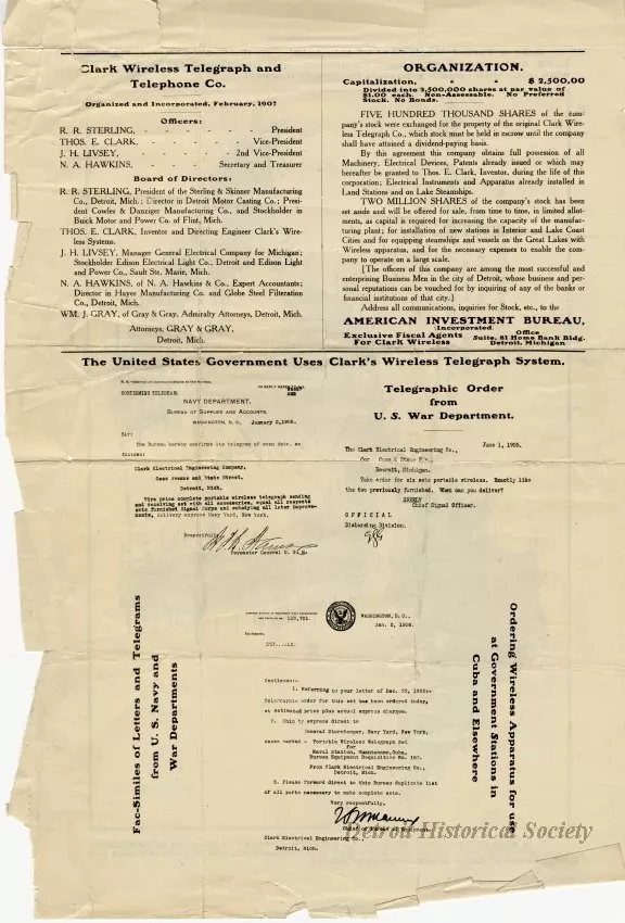
1 - Map of the Great Lakes showing the locations of proposed telegraph stations using Thomas E. Clark's wireless technology. The sites include Detroit, Toledo, Port Huron, Bay City, Petoskey, Ludington, Muskegon, Grand Haven, St. Joseph, Chicago, Milwaukee, Manitowoc, Sault Sainte Marie, Copper Harbor, Duluth, Cleveland, Buffalo, and Toronto. The distances between many of the stations are marked in miles. A caption to the right of the map reads, "Only a partial equipment of this service on the Great Lakes including land stations and steamboat equipment will have estimated earnings of $375,000, with certain prospects for steady increase." A caption to the left reads, "It is planned to equip 22 lake coast ports during the seasons of 1907-1908. This number will be added to as fast as necessary capital is secured and the equipment of lake steamships may justify." The verso contains three sections. The first lists the officers and board of directors of the Clark Wireless Telegraphy and Telephone Company. The second contains stock information about the company. The largest section is entitled, "The United States Government Uses Clark's Wireless Telegraph System," and contains three copies of letters and telegraphs from the Navy, and Department of War ordering wireless sets from the company.
Request Image


