2014.061.009
Map
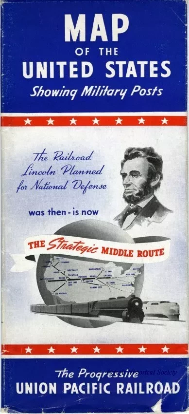
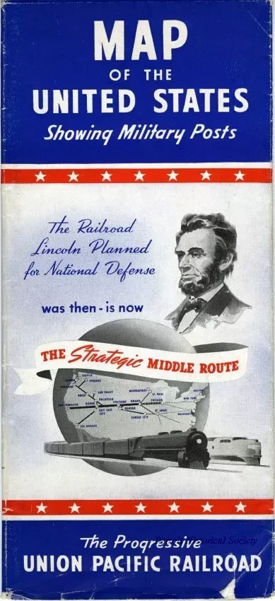
Map of the United States Showing Military Posts
Map showing the route of the Union Pacific Railroad connecting the Atlantic and Pacific Coasts, which serves the important western cities and vacation regions. Printed on June 15, 1941 by Rand McNally, Chicago.
Request Image

