2013.042.464
Map
Michigan Canoe Trails
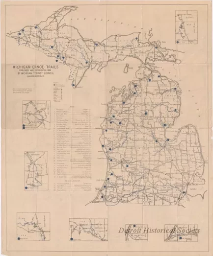
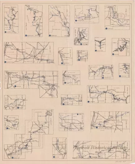
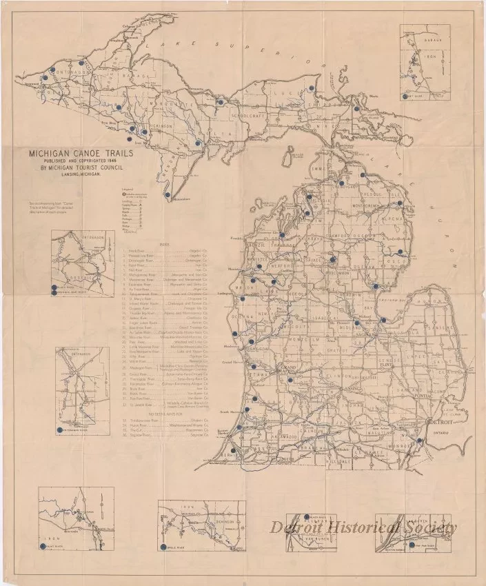
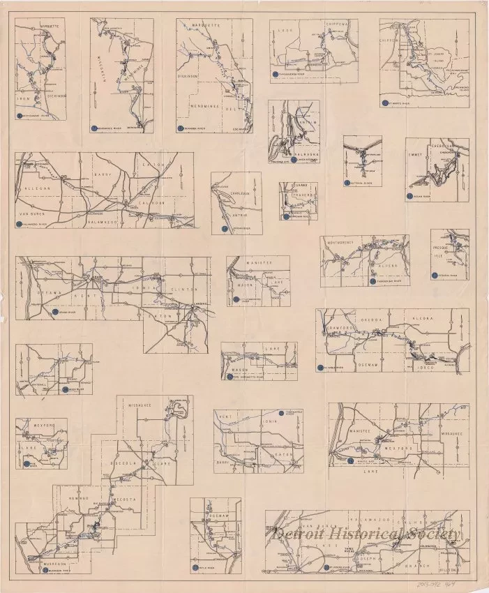
One map entitled "Michigan Canoe Trails." The map is printed in black and blue ink on white paper and shows the locations of various canoe areas around the state. A numbered index is shown on the left side of the map. Small inset maps are shown along the border and on the verso in order to provide more detailed location information. The map was prepared by the Michigan Tourist Council in Lansing and is dated 1946.
Request Image


