1955.003.005
Map
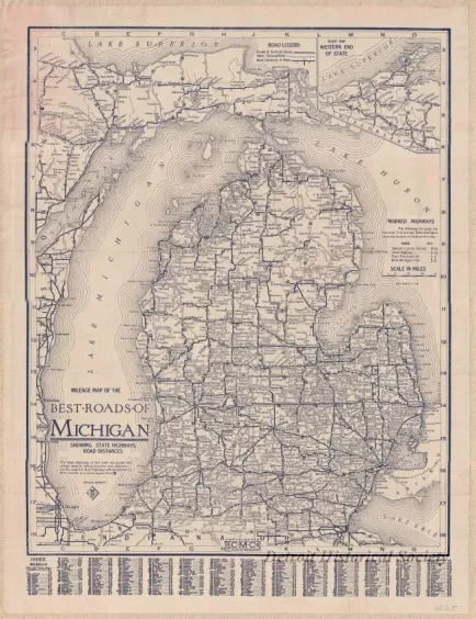
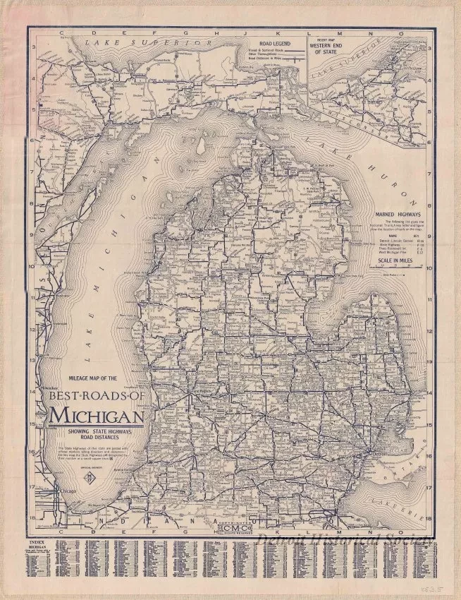
Mileage Map of the Best Roads of Michigan,
Showing State Highways, Road Distances.
One map entitled "Mileage Map of the Best Roads of Michigan, Showing State Highways, Road Distances." The map is printed in dark blue ink on white paper and shows state highways and major roads as well as cities, towns, and travel distances. An alphabetical index of cities and towns is shown along the bottom of the map sheet. An inset map of the western end of the Upper Peninsula is shown in the upper right area of the map. The map was printed by the "C. M. Co." Separated from the map is the accompanying soft-cover entitled "The Detroit News Automobile Road Map of Michigan".
Request Image


