2009.022.001
Map
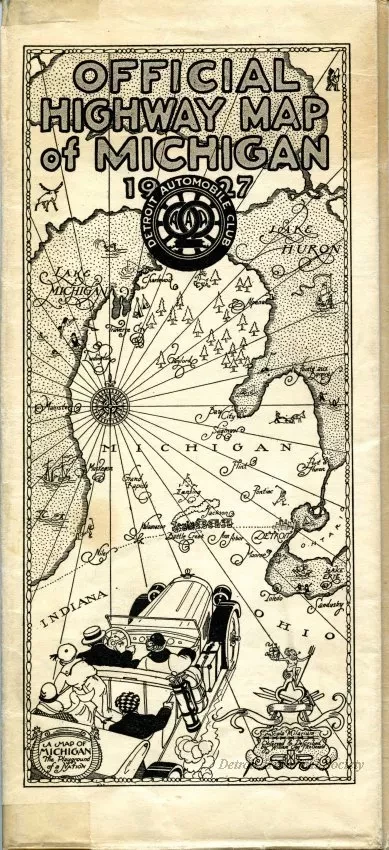
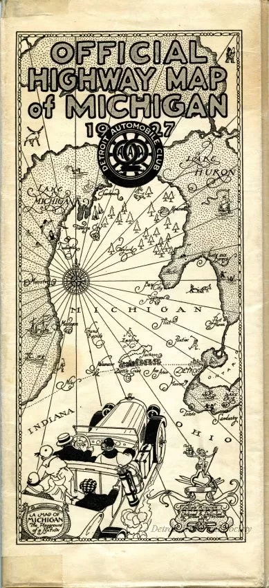
Official Highway Map of Michigan, 1927
One folded map entitled "Official Highway Map of Michigan, 1927." The map is printed in red and black text on white paper and shows major roads and highways as well as cities, towns, and villages in the Upper and Lower Peninsulas of Michigan. Hotel listings, driver safety notes, and other tourist information is also shown. The map was published by the Detroit Automobile Club which was associated with the American Automobile Association (AAA).
Request Image

