2013.049.005
Map
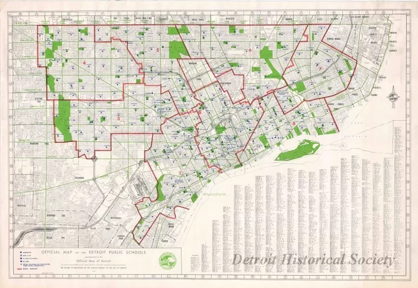
Official Map of the Detroit Public Schools
One map titled "Official Map of the Detroit Public Schools." The multicolor street map shows school names and locations as well as region boundaries. A symbol legend is shown in the lower left corner of the map and an alphabetical street list is shown in the lower right corner. The map was produced by the Board of Education of the School District of the City of Detroit and is dated 1972.
Request Image

