2013.042.466
Map
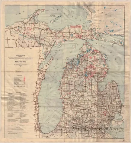
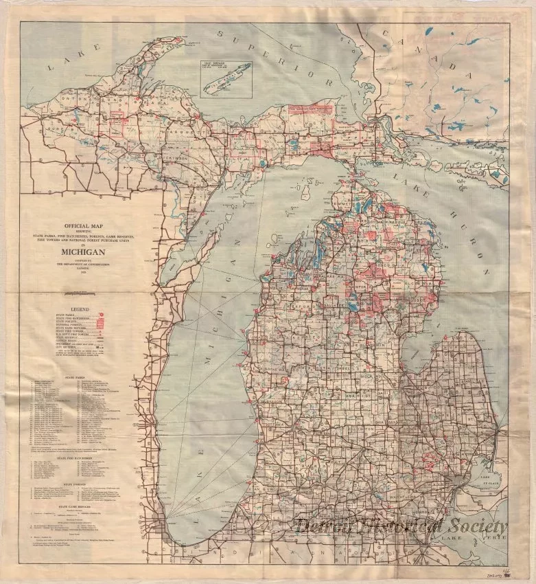
Official Map Showing State Parks, Fish Hatcheries, Forests, Game Reserves, Fire Towers, and National Forest Purchase Units in Michigan
One map entitled "Official Map Showing State Parks, Fish Hatcheries, Forests, Game Reserves, Fire Towers, and National Forest Purchase Units in Michigan." The map shows the Upper and Lower Peninsulas of Michigan and is printed in various color inks on a white background. It shows cities, towns, and major roads as well as the parks and other sites that are listed in the map title. The map was compiled by the Department of Conservation in Lansing and is dated 1929. The verso includes descriptions, pictures, and information tables concerning parks and natural resources in the state.
Request Image

