1966.001.052
Map
Official Michigan Highway Map
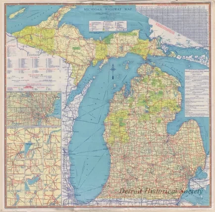
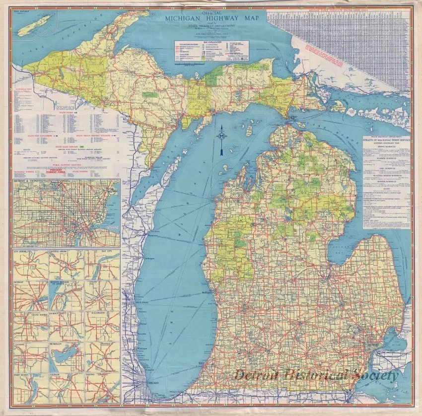
One map entitled "Official Michigan Highway Map." The color map shows the Upper and Lower Peninsulas of Michigan along with highways, major roads, cities, towns, lakes, and rivers. Small inset maps on the lower left side show enlarged details for the downtown areas of 16 Michigan cities. Various table provide information concerning driving distances, ferry schedules, state parks, game refuges, and state police posts. The map was prepared by the Michigan State Highway Department, Murray D. Van Wagoner, Commissioner, and is dated July 1, 1935.
Request Image

