Map
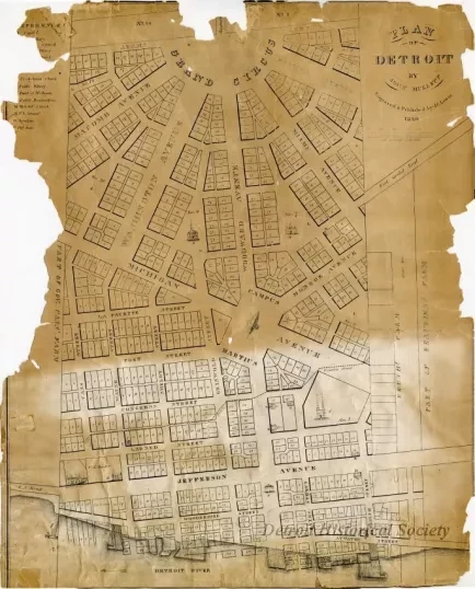
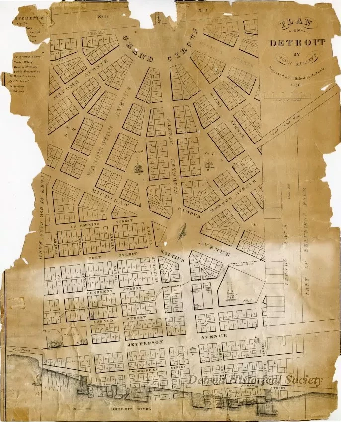
Plan of Detroit by John Mullett, Engraved & Published by J.O. Lewis
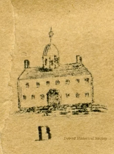
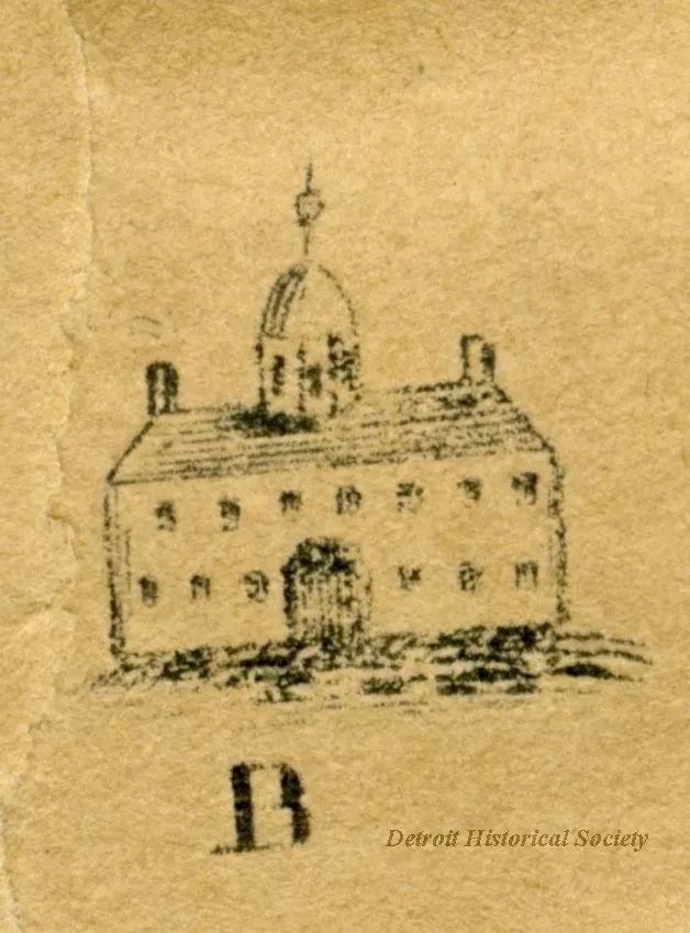
Print of surveyor John Mullet's Plan of Detroit, engraved and published by J.O. Lewis. The map extends from Adams Street south to the Detroit River, and from Governor Lewis Cass' property on the west to the Beaubien family's farm on the east. Most of the properties are represented by numbered rectangles, however several notable buildings are represented by small drawings. A partially surviving key on the left of this copy labels the buildings. In full this list included, capitol (A), penitentiary (B), Catholic Church (C), Council House (D), Episcopal Church (E), Old Market (F), New D° [presumably referring to the (H), Presbyterian Church (H), Public Wharf (I), Bank of Michigan (K), public reservations (L), [undedicated] Methodist church (M), U.S. Arsenal (N), Academy (O), and Hay Scales (P).
Request Image


