Map
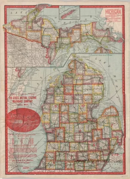
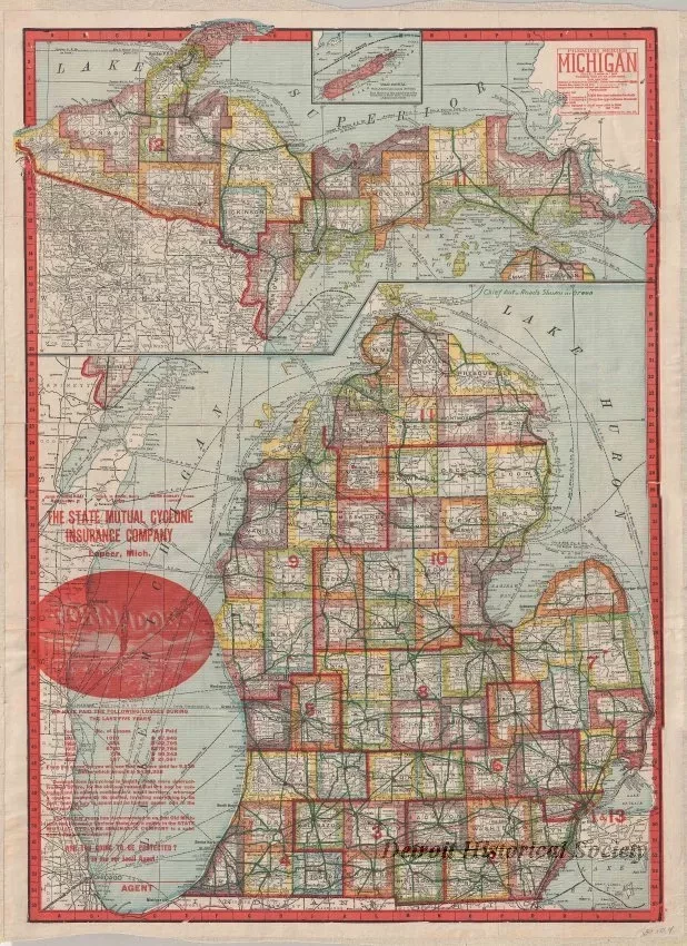
Premier Series - Michigan
One map entitled "Premier Series - Michigan" that was prepared by "The Geographical Publishing Company" for "The State Mutual Cyclone Insurance Company, Lapeer, Mich." The map is printed in black ink on white paper with county boundaries outlined in various colors. Congressional district lines and numbers are shown in red. Lake areas are colored light blue. The map is drawn at a scale of 1 inch = 15 miles and shows counties, township lines, cities, towns, major roads, rivers, and ship transport routes on the lakes. A summary of losses paid by the State Mutual Cyclone Insurance Company from 1911 to 1915 is shown in red text in the lower left corner area of the map. A gazetteer of Michigan towns and cities is shown on the verso.
There is also a separated cover entitled "State Map of Michigan Showing Distances between Towns. Congressional Districts, Electric Lines, Steam Roads, Latest U.S. Census and Principal Auto Roads".


